Hopson, Mississippi
| Hopson, Mississippi | |
|---|---|
| Unincorporated community | |
 | |
 Hopson  Hopson | |
| Coordinates: 34°09′31″N 90°32′47″W / 34.15861°N 90.54639°WCoordinates: 34°09′31″N 90°32′47″W / 34.15861°N 90.54639°W | |
| Country | United States |
| State | Mississippi |
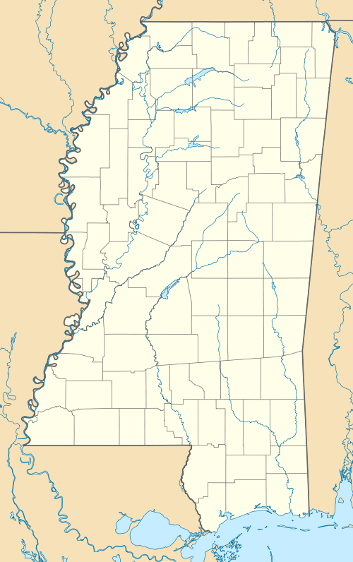
| County | Coahoma |
| Elevation | 167 ft (53 m) |
| Time zone | Central (CST) (UTC-6) |
| • Summer (DST) | CDT (UTC-5) |
| ZIP code | 38614 |
| Area code(s) | 662 |
| GNIS feature ID | 671454[1] |
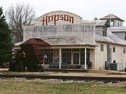
Hopson (also known as Hopson Plantation) is an unincorporated community located in Coahoma County, Mississippi south of Clarksdale and U.S. Route 61 along U.S. Route 49.
Gallery
 Mississippi blues trail marker in the Hopson community
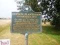 Historical marker in the Hopson community
References
Municipalities and communities of Coahoma County, Mississippi, United States | ||
|---|---|---|
| City | 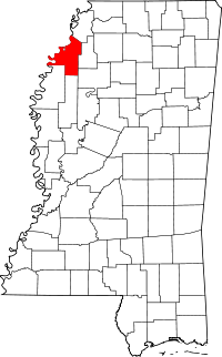 | |
| Towns | ||
| CDP | ||
| Other unincorporated communities | ||
| Ghost towns | ||
| Footnotes | ‡This populated place also has portions in an adjacent county or counties | |
This article is issued from Wikipedia - version of the 7/30/2016. The text is available under the Creative Commons Attribution/Share Alike but additional terms may apply for the media files.