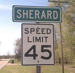
Sherard, Mississippi
| Sherard, Mississippi | |
|---|---|
| Unincorporated community | |
 | |
 Sherard  Sherard | |
| Coordinates: 34°12′56″N 90°42′22″W / 34.21556°N 90.70611°WCoordinates: 34°12′56″N 90°42′22″W / 34.21556°N 90.70611°W | |
| Country | United States |
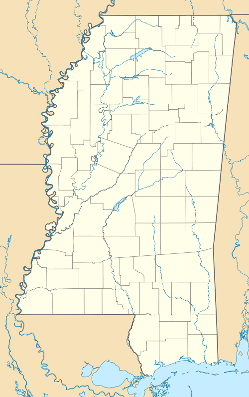
| State | Mississippi |
| County | Coahoma |
| Elevation | 164 ft (50 m) |
| Time zone | Central (CST) (UTC-6) |
| • Summer (DST) | CDT (UTC-5) |
| ZIP code | 38669 |
| Area code(s) | 662 |
| GNIS feature ID | 677650[1] |
Sherard is an unincorporated community located in Coahoma County, Mississippi, United States. Sherard is located along Mississippi Highway 1, 6 miles (9.7 km) west of Clarksdale.
Although Sherard is unincorporated, it has a post office and a zip code of 38669.
References
Municipalities and communities of Coahoma County, Mississippi, United States | ||
|---|---|---|
| City | 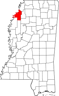 | |
| Towns | ||
| CDP | ||
| Other unincorporated communities | ||
| Ghost towns | ||
| Footnotes | ‡This populated place also has portions in an adjacent county or counties | |
This article is issued from Wikipedia - version of the 7/30/2016. The text is available under the Creative Commons Attribution/Share Alike but additional terms may apply for the media files.