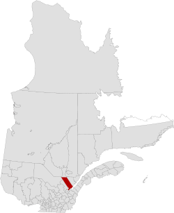
La Côte-de-Beaupré Regional County Municipality
| La Côte-de-Beaupré | |
|---|---|
| Regional county municipality | |
 | |
| Coordinates: 47°03′N 70°54′W / 47.050°N 70.900°WCoordinates: 47°03′N 70°54′W / 47.050°N 70.900°W[1] | |
| Country |
|
| Province |
|
| Region | Capitale-Nationale |
| Effective | January 1, 1982 |
| County seat | Château-Richer |
| Government[2] | |
| • Type | Prefecture |
| • Prefect | Pierre Lefrançois |
| Area[2][3] | |
| • Total | 5,027.80 km2 (1,941.24 sq mi) |
| • Land | 4,865.73 km2 (1,878.67 sq mi) |
| Population (2011)[3] | |
| • Total | 26,172 |
| • Density | 5.4/km2 (14/sq mi) |
| • Pop 2006-2011 |
|
| • Dwellings | 12,599 |
| Time zone | EST (UTC−5) |
| • Summer (DST) | EDT (UTC−4) |
| Area code(s) | 418 and 581 |
| Website |
www cotedebeaupre |
La Côte-de-Beaupré is a regional county municipality in the Capitale-Nationale region of Quebec, Canada. The seat is Château-Richer. Its most populous community is the municipality of Boischatel.
Subdivisions
There are 11 subdivisions within the RCM:[2]
|
|
|
|
Transportation
Access Routes
Highways and numbered routes that run through the municipality, including external routes that start or finish at the county border:[4]
|
|
|
See also
References
- La Côte-de-Beaupré Regional County Municipality Statistics Canada
External links
 |
La Tuque TE | Lac-Saint-Jean-Est RCM | | |
| La Jacques-Cartier RCM | |
Charlevoix RCM | ||
| ||||
| | ||||
| Quebec TE | Saint Lawrence River L'Île-d'Orléans RCM / Montmagny RCM |
| Regional county municipalities and equivalent territories | |
|---|---|
| Municipalities | |
This article is issued from Wikipedia - version of the 2/17/2014. The text is available under the Creative Commons Attribution/Share Alike but additional terms may apply for the media files.