Matheny, West Virginia
| Matheny | |
|---|---|
| Census-designated place (CDP) | |
|
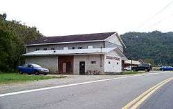
Entering Matheny | |
 Matheny Location within the state of West Virginia | |
| Coordinates: 37°39′54″N 81°36′0″W / 37.66500°N 81.60000°WCoordinates: 37°39′54″N 81°36′0″W / 37.66500°N 81.60000°W | |
| Country | United States |
| State | West Virginia |
| County | Wyoming |
| Area[1] | |
| • Total | 3.525 sq mi (9.13 km2) |
| • Land | 3.501 sq mi (9.07 km2) |
| • Water | 0.024 sq mi (0.06 km2) |
| Population (2010)[2] | |
| • Total | 531 |
| • Density | 150/sq mi (58/km2) |
| Time zone | Eastern (EST) (UTC-5) |
| • Summer (DST) | EDT (UTC-4) |
Matheny is a census-designated place (CDP) in Wyoming County, West Virginia, United States. As of the 2010 census, its population was 531.[2] The Laurel Fork flows through the community.[3]
References
- ↑ "US Gazetteer files: 2010, 2000, and 1990". United States Census Bureau. 2011-02-12. Retrieved 2011-04-23.
- 1 2 "American FactFinder". United States Census Bureau. Retrieved 2011-05-14.
- ↑ West Virginia Atlas & Gazetteer. Yarmouth, Me.: DeLorme. 1997. p. 58. ISBN 0-89933-246-3.
Municipalities and communities of Wyoming County, West Virginia, United States | ||
|---|---|---|
| City | 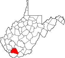 | |
| Towns | ||
| CDPs | ||
| Unincorporated communities |
| |
| Footnotes | ‡This populated place also has portions in an adjacent county or counties | |
This article is issued from Wikipedia - version of the 11/17/2016. The text is available under the Creative Commons Attribution/Share Alike but additional terms may apply for the media files.