Mayfield, Arkansas
| Mayfield, Arkansas | |
|---|---|
| Unincorporated community | |
 | |
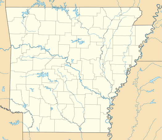 Mayfield, Arkansas Mayfield's position in Arkansas. | |
| Coordinates: 36°8′1″N 93°56′39″W / 36.13361°N 93.94417°WCoordinates: 36°8′1″N 93°56′39″W / 36.13361°N 93.94417°W | |
| Country |
|
| State |
|
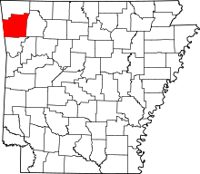
| County | Washington |
| Township | Goshen |
| Elevation[1] | 370 m (1,210 ft) |
| Time zone | Central (CST) (UTC-6) |
| • Summer (DST) | CDT (UTC-5) |
| Area code(s) | 479 |
| GNIS feature ID | 57106 |
| U.S. Geological Survey Geographic Names Information System: Mayfield, Arkansas | |
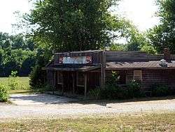
Mayfield is an unincorporated community in Goshen Township, Washington County, Arkansas, United States.[2] It is located at the intersection of Highway 303 and Highway 45.[3]
References
- ↑ "Mayfield, Arkansas." Histopolis Retrieved July 5, 2011.
- ↑ "Feature Detail Report for: Mayfield, Arkansas." USGS. U.S. Geological Survey Geographic Names Information System: Mayfield, Arkansas Retrieved July 5, 2011.
- ↑ Arkansas Atlas and Gazetteer (Map) (Second ed.). DeLorme. § 22.
This article is issued from Wikipedia - version of the 2/10/2014. The text is available under the Creative Commons Attribution/Share Alike but additional terms may apply for the media files.