Nyírparasznya
| Nyírparasznya | ||
|---|---|---|
| ||
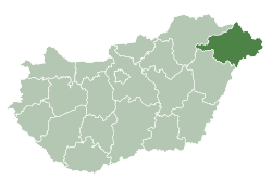
 Nyírparasznya Location of Nyírparasznya in Hungary | ||
| Coordinates: 48°01′29″N 22°15′49″E / 48.02472°N 22.26361°ECoordinates: 48°01′29″N 22°15′49″E / 48.02472°N 22.26361°E | ||
| Country | Hungary | |
| Region | Northern Great Plain | |
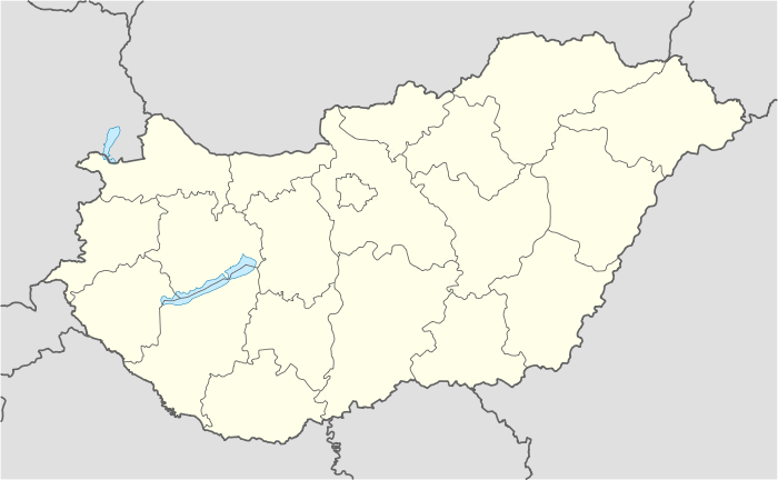
| County | Szabolcs-Szatmár-Bereg | |
| Area[1] | ||
| • Total | 14.8 km2 (5.7 sq mi) | |
| Population (2011)[2] | ||
| • Total | 959 | |
| • Density | 65/km2 (170/sq mi) | |
| Time zone | CET (UTC+1) | |
| • Summer (DST) | CEST (UTC+2) | |
| Postal code | 4822 | |
| Area code | +36 44 | |
| Website | www.nyirparasznya.hu | |

Nyírparasznya is a village in Szabolcs-Szatmár-Bereg County, Hungary.
References
- ↑ Nyírparasznya at the Hungarian Central Statistical Office (Hungarian).
- ↑ Nyírparasznya at the Hungarian Central Statistical Office (Hungarian). 2011
This article is issued from Wikipedia - version of the 9/6/2015. The text is available under the Creative Commons Attribution/Share Alike but additional terms may apply for the media files.