Serra-di-Ferro
| Serra-di-Ferro Sarra-di-Farru | |
|---|---|
|
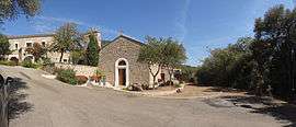
The chapel in Serra-di-Ferro | |
 Serra-di-Ferro | |
|
Location within Corsica region 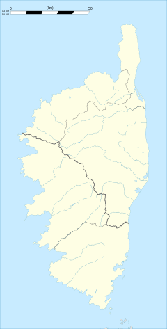 Serra-di-Ferro | |
| Coordinates: 41°43′50″N 8°47′58″E / 41.7306°N 8.7994°ECoordinates: 41°43′50″N 8°47′58″E / 41.7306°N 8.7994°E | |
| Country | France |
| Region | Corsica |
| Department | Corse-du-Sud |
| Arrondissement | Ajaccio |
| Canton | Santa-Maria-Siché |
| Government | |
| • Mayor (2008–2014) | Antoine Giorgi |
| Area1 | 32 km2 (12 sq mi) |
| Population (2008)2 | 438 |
| • Density | 14/km2 (35/sq mi) |
| Time zone | CET (UTC+1) |
| • Summer (DST) | CEST (UTC+2) |
| INSEE/Postal code | 2A276 / 20140 |
| Elevation | 0–140 m (0–459 ft) |
|
1 French Land Register data, which excludes lakes, ponds, glaciers > 1 km² (0.386 sq mi or 247 acres) and river estuaries. 2 Population without double counting: residents of multiple communes (e.g., students and military personnel) only counted once. | |
Serra-di-Ferro is a commune in the Corse-du-Sud department of France on the island of Corsica.
Population
| Historical population | ||
|---|---|---|
| Year | Pop. | ±% |
| 1962 | 277 | — |
| 1968 | 284 | +2.5% |
| 1975 | 334 | +17.6% |
| 1982 | 342 | +2.4% |
| 1990 | 327 | −4.4% |
| 1999 | 353 | +8.0% |
| 2006 | 420 | +19.0% |
| 2008 | 438 | +4.3% |
Sights
See also
References
External links
| Wikimedia Commons has media related to Serra-di-Ferro. |
This article is issued from Wikipedia - version of the 2/11/2016. The text is available under the Creative Commons Attribution/Share Alike but additional terms may apply for the media files.