Sours
For a type of confectionery, see Fruit sours.
| Sours | |
|---|---|
 Sours | |
|
Location within Centre-Val de Loire region 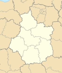 Sours | |
| Coordinates: 48°24′38″N 1°35′53″E / 48.4106°N 1.5981°ECoordinates: 48°24′38″N 1°35′53″E / 48.4106°N 1.5981°E | |
| Country | France |
| Region | Centre-Val de Loire |
| Department | Eure-et-Loir |
| Arrondissement | Chartres |
| Canton | Chartres-Sud-Est |
| Intercommunality | L'Orée de Chartres |
| Government | |
| • Mayor (2008–2014) | Claude Joseph |
| Area1 | 33.15 km2 (12.80 sq mi) |
| Population (2008)2 | 1,774 |
| • Density | 54/km2 (140/sq mi) |
| Time zone | CET (UTC+1) |
| • Summer (DST) | CEST (UTC+2) |
| INSEE/Postal code | 28380 / 28630 |
| Elevation |
136–158 m (446–518 ft) (avg. 150 m or 490 ft) |
|
1 French Land Register data, which excludes lakes, ponds, glaciers > 1 km² (0.386 sq mi or 247 acres) and river estuaries. 2 Population without double counting: residents of multiple communes (e.g., students and military personnel) only counted once. | |
Sours is a commune in the Eure-et-Loir department in northern France.
Population
| Historical population | ||
|---|---|---|
| Year | Pop. | ±% |
| 1962 | 1,034 | — |
| 1968 | 1,108 | +7.2% |
| 1975 | 1,239 | +11.8% |
| 1982 | 1,262 | +1.9% |
| 1990 | 1,513 | +19.9% |
| 1999 | 1,666 | +10.1% |
| 2008 | 1,774 | +6.5% |
See also
References
| Wikimedia Commons has media related to Sours. |
This article is issued from Wikipedia - version of the 2/12/2016. The text is available under the Creative Commons Attribution/Share Alike but additional terms may apply for the media files.