Clévilliers
| Clévilliers | |
|---|---|
 Clévilliers | |
|
Location within Centre-Val de Loire region 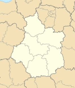 Clévilliers | |
| Coordinates: 48°32′38″N 1°23′11″E / 48.5439°N 1.3864°ECoordinates: 48°32′38″N 1°23′11″E / 48.5439°N 1.3864°E | |
| Country | France |
| Region | Centre-Val de Loire |
| Department | Eure-et-Loir |
| Arrondissement | Chartres |
| Canton | Chartres-Nord-Est |
| Intercommunality | L'Orée de Chartres |
| Government | |
| • Mayor (2008–2014) | Alain Bellamy |
| Area1 | 15.78 km2 (6.09 sq mi) |
| Population (2008)2 | 736 |
| • Density | 47/km2 (120/sq mi) |
| Time zone | CET (UTC+1) |
| • Summer (DST) | CEST (UTC+2) |
| INSEE/Postal code | 28102 / 28300 |
| Elevation |
171–215 m (561–705 ft) (avg. 199 m or 653 ft) |
|
1 French Land Register data, which excludes lakes, ponds, glaciers > 1 km² (0.386 sq mi or 247 acres) and river estuaries. 2 Population without double counting: residents of multiple communes (e.g., students and military personnel) only counted once. | |
Clévilliers is a commune in the Eure-et-Loir department in northern France.
Clévilliers is located between the villages of Briconville, Challet and Dangers. It is located 13km north-west of Lucé. The Vacheresses stream runs through the village. Clévilliers is 23km from the Perche regional natural park.
Population
| Historical population | ||
|---|---|---|
| Year | Pop. | ±% |
| 1962 | 352 | — |
| 1968 | 403 | +14.5% |
| 1975 | 378 | −6.2% |
| 1982 | 452 | +19.6% |
| 1990 | 549 | +21.5% |
| 1999 | 654 | +19.1% |
| 2008 | 736 | +12.5% |
See also
References
| Wikimedia Commons has media related to Clévilliers. |
This article is issued from Wikipedia - version of the 11/13/2014. The text is available under the Creative Commons Attribution/Share Alike but additional terms may apply for the media files.