Várong
| Várong | ||
|---|---|---|
| ||
 Várong Location of Várong in Hungary | ||
| Coordinates: 46°31′31″N 18°02′47″E / 46.52528°N 18.04639°ECoordinates: 46°31′31″N 18°02′47″E / 46.52528°N 18.04639°E | ||
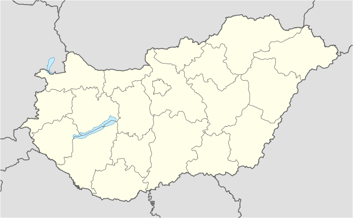
| Country | Hungary | |
| Region | Southern Transdanubia | |
| County | Tolna | |
| Area[1] | ||
| • Total | 6.6 km2 (2.5 sq mi) | |
| Population (2011)[2] | ||
| • Total | 148 | |
| • Density | 22/km2 (58/sq mi) | |
| Time zone | CET (UTC+1) | |
| • Summer (DST) | CEST (UTC+2) | |
| Postal code | 7214 | |
| Area code | +36 74 | |
| Website | www.varong.hu | |

Várong is a village in Tolna county, Hungary.
References
- ↑ Várong at the Hungarian Central Statistical Office (Hungarian).
- ↑ Várong at the Hungarian Central Statistical Office (Hungarian). 2011
County seat: Szekszárd | ||
| Cities and towns | 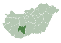 | |
| Villages |
| |
| Other topics |
| |
This article is issued from Wikipedia - version of the 7/5/2014. The text is available under the Creative Commons Attribution/Share Alike but additional terms may apply for the media files.