Waltenheim
| Waltenheim Wàltene | ||
|---|---|---|
| ||
 Waltenheim | ||
|
Location within Grand Est region 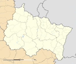 Waltenheim | ||
| Coordinates: 47°39′28″N 7°25′35″E / 47.6578°N 7.4264°ECoordinates: 47°39′28″N 7°25′35″E / 47.6578°N 7.4264°E | ||
| Country | France | |
| Region | Grand Est | |
| Department | Haut-Rhin | |
| Arrondissement | Mulhouse | |
| Canton | Sierentz | |
| Intercommunality | Pays de Sierentz | |
| Government | ||
| • Mayor (2001–2008) | Guy Picquet | |
| Area1 | 2.32 km2 (0.90 sq mi) | |
| Population (2006)2 | 568 | |
| • Density | 240/km2 (630/sq mi) | |
| Time zone | CET (UTC+1) | |
| • Summer (DST) | CEST (UTC+2) | |
| INSEE/Postal code | 68357 / 68510 | |
| Elevation |
268–313 m (879–1,027 ft) (avg. 285 m or 935 ft) | |
|
1 French Land Register data, which excludes lakes, ponds, glaciers > 1 km² (0.386 sq mi or 247 acres) and river estuaries. 2 Population without double counting: residents of multiple communes (e.g., students and military personnel) only counted once. | ||
.svg.png)
Waltenheim (Alemannic German: Wàltene) is a commune in the Haut-Rhin department in Alsace in north-eastern France.
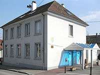 Town hall
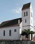 Saint Peter and Paul Church
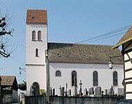 Saint Peter and Paul Church
See also
References
| Wikimedia Commons has media related to Waltenheim. |
This article is issued from Wikipedia - version of the 6/15/2016. The text is available under the Creative Commons Attribution/Share Alike but additional terms may apply for the media files.