Theillay
| Theillay | ||
|---|---|---|
|
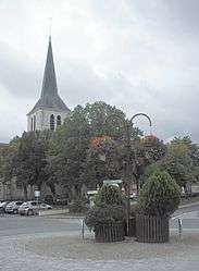
The church of Saint-Sulpice, in Theillay | ||
| ||
 Theillay | ||
|
Location within Centre-Val de Loire region 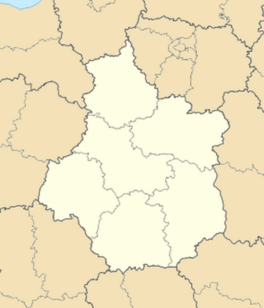 Theillay | ||
| Coordinates: 47°18′52″N 2°02′28″E / 47.3144°N 2.0411°ECoordinates: 47°18′52″N 2°02′28″E / 47.3144°N 2.0411°E | ||
| Country | France | |
| Region | Centre-Val de Loire | |
| Department | Loir-et-Cher | |
| Arrondissement | Romorantin-Lanthenay | |
| Canton | Salbris | |
| Intercommunality | Communauté de communes La Sologne des rivières | |
| Government | ||
| • Mayor | Gérard Chopin | |
| Area1 | 96.38 km2 (37.21 sq mi) | |
| Population (2006)2 | 1,267 | |
| • Density | 13/km2 (34/sq mi) | |
| Time zone | CET (UTC+1) | |
| • Summer (DST) | CEST (UTC+2) | |
| INSEE/Postal code | 41256 / 41300 | |
| Elevation | 96–168 m (315–551 ft) | |
|
1 French Land Register data, which excludes lakes, ponds, glaciers > 1 km² (0.386 sq mi or 247 acres) and river estuaries. 2 Population without double counting: residents of multiple communes (e.g., students and military personnel) only counted once. | ||
.svg.png)
Theillay is a commune of the Loir-et-Cher department in central France.
Geography
The Rère flows westward through the northern part of the commune.
See also
| Wikimedia Commons has media related to Theillay. |
This article is issued from Wikipedia - version of the 3/15/2016. The text is available under the Creative Commons Attribution/Share Alike but additional terms may apply for the media files.