Chambois, Eure
| Chambois | |
|---|---|
 Chambois | |
|
Location within Normandy region 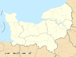 Chambois | |
| Coordinates: 48°55′48″N 1°08′31″E / 48.930°N 1.142°ECoordinates: 48°55′48″N 1°08′31″E / 48.930°N 1.142°E | |
| Country | France |
| Region | Normandy |
| Department | Eure |
| Arrondissement | Évreux |
| Canton | Verneuil-sur-Avre |
| Area1 | 27.60 km2 (10.66 sq mi) |
| Population (2013)2 | 1,320 |
| • Density | 48/km2 (120/sq mi) |
| Time zone | CET (UTC+1) |
| • Summer (DST) | CEST (UTC+2) |
| INSEE/Postal code | 27032 / 27240 |
|
1 French Land Register data, which excludes lakes, ponds, glaciers > 1 km² (0.386 sq mi or 247 acres) and river estuaries. 2 Population without double counting: residents of multiple communes (e.g., students and military personnel) only counted once. | |
Chambois is a commune in the department of Eure, northern France. The municipality was established on 1 January 2016 by merger of the former communes of Avrilly, Corneuil and Thomer-la-Sôgne.[1]
References
- ↑ Arrêté préfectoral 23 November 2015 (French)
See also
This article is issued from Wikipedia - version of the 3/23/2016. The text is available under the Creative Commons Attribution/Share Alike but additional terms may apply for the media files.